

When you're heading off the beaten track in Australia, your phone's GPS just doesn't cut it. Mobile coverage disappears fast once you leave the highway, and that's exactly when you need navigation you can actually trust.
Out here in Gippsland we've learned that lesson the hard way. Whether we're exploring remote 4WD tracks, heading bush for a fishing trip or planning a family caravan adventure through the outback, Hema Maps is the one navigation tool we always rely on.
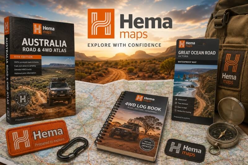
Why Hema Maps?
Hema has been mapping Australia's remote regions for over 30 years. Their maps cover tracks, stations, campgrounds, water points and points of interest that Google Maps has never heard of — the stuff that actually matters when you're deep in the bush.
Whether you're planning a weekend escape or a lap around Australia, Hema gives you the detail and confidence to explore further.
What Hema Offers
Detailed 4WD and outback maps
State and regional touring maps
HemaX app for digital navigation
Explorer GPS devices
Camp and track guides
Our Take
For any family serious about exploring real Australia — not just the tourist trails — Hema Maps is essential. It's the kind of gear that doesn't just make adventures easier, it makes them safer.
Don't head bush without it.